| File Name | Details |
|---|---|
| Thornapple River Sedimentation Study Final Report | Download |
Cascade residents along the Thornapple River have noticed increasing amounts of sediment accumulation along the riverbank in various locations upstream of the Cascade Dam.
The Thornapple River SAD worked with Prein & Newhof to develop a sedimentation control and mitigation action plan for the Thornapple River. Mitigating sediment can improve water quality, navigation, and aquatic habitats. This project focused on reviewing the river bayous and contributing waterways that impact the Thornapple River between 60th Street and the Cascade Dam.
An aerial drone survey was conducted during the river drawdown in fall of 2025. Areas of visible sediment deposition were identified and tributaries with apparent sediment accumulation were flagged for additional field investigation. Environmental staff walked all flagged individual tributaries, locating areas of significant erosion while logging GPS locations, collecting field data, and taking site photographs. Areas with human activity induced erosion were identified for potential corrective action. Areas of significant erosion due to natural causes (i.e. downed trees or unstable embankments) were also documented.
This final report provided recommendations for corrective actions and best management practices to reduce/manage sediment loading and sediment deposition. These recommendations will be used by the Thornapple River SAD to inform, educate, and coordinate actions with property owners along both the Thornapple Rive and the contributing waterways.
Residents can view the drone footage of the river and search for their property at the links below.
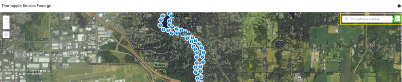
Erosion Drone Footage Click the >> in the top right corner of the screen (marked in green below), then type the address in the search field (marked in yellow below).
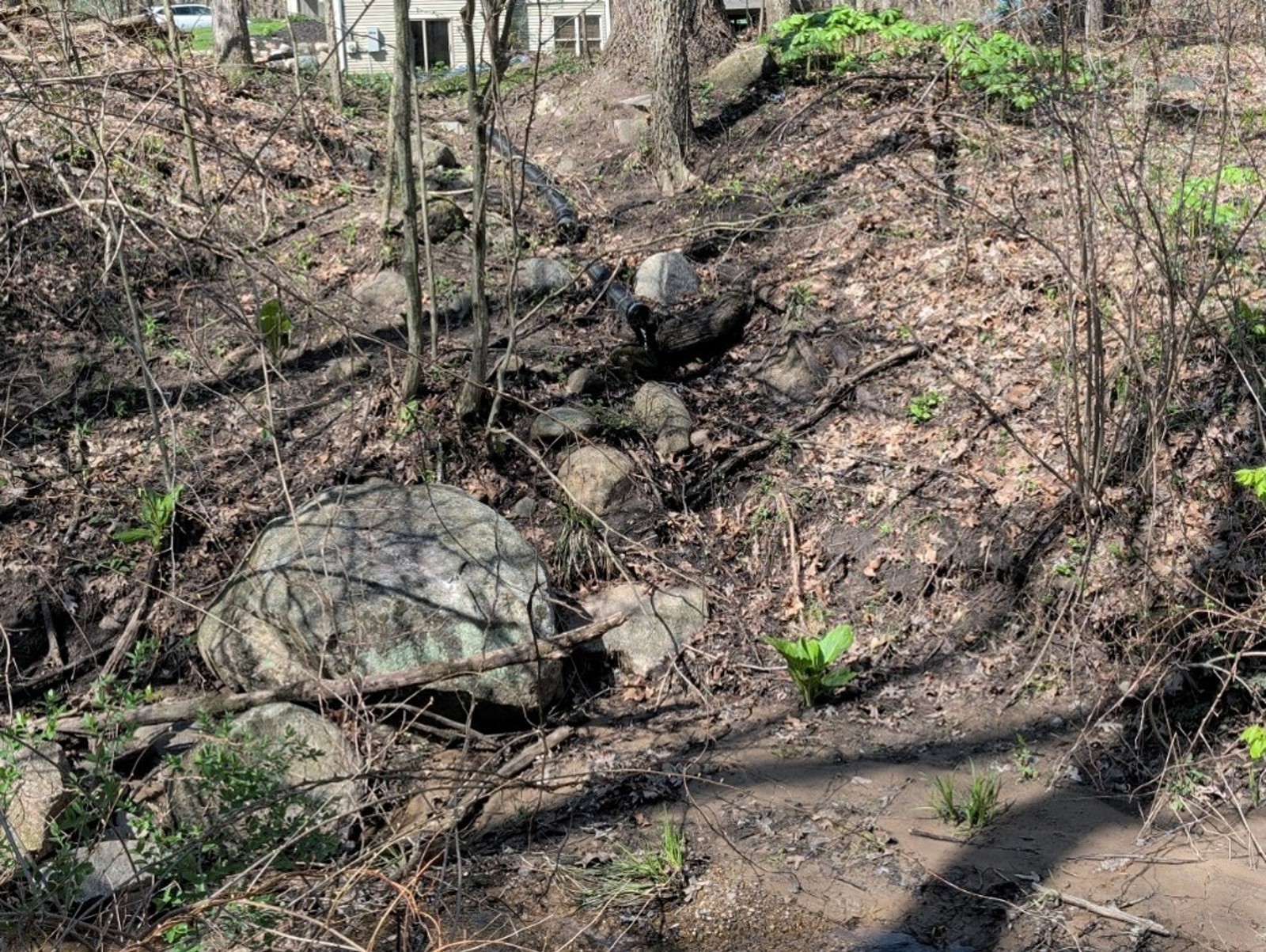
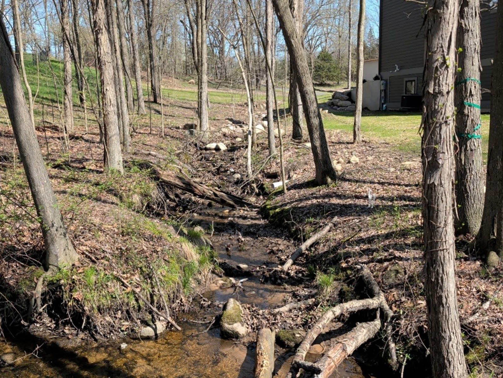
How can we fix or reduce this kind of erosion?
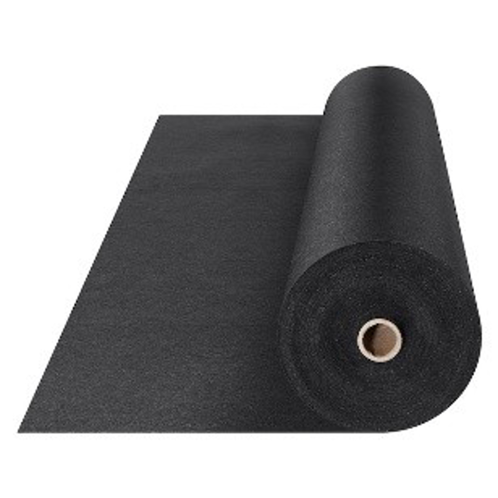
Smooth out the bottom of the drainage swale and place a 1-inch diameter crushed stone strip on top of non-woven geotextile fabric. This stabilizes the drainage swale. Nonwoven geotextile fabric is a permeable, felt-like synthetic material made from needle-punched polypropylene fibers optimized for separation, filtration, and drainage. It prevents soil and aggregate mixing, allows high water flow rates, and resists biological degradation. It can be found at most big-box home improvement stores.